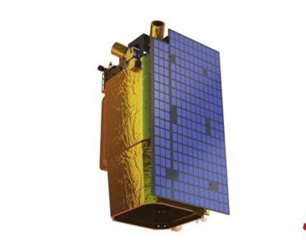
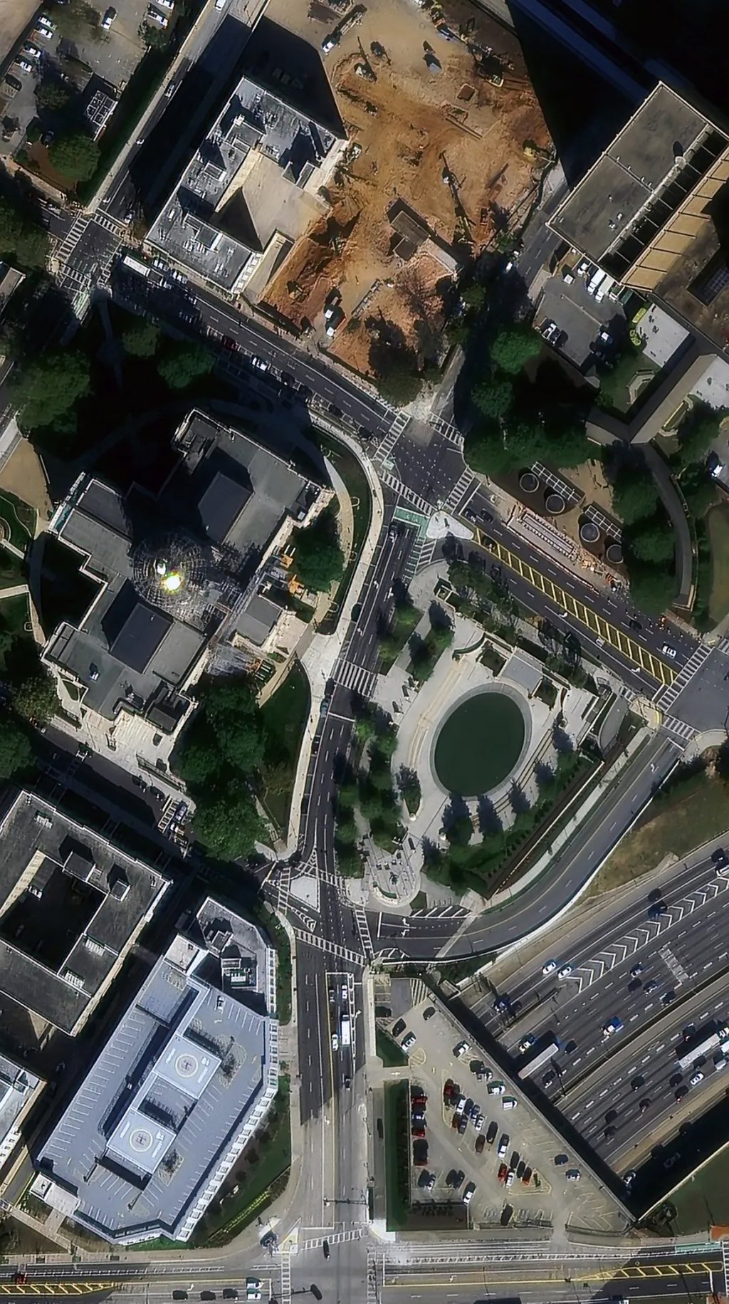
China’s latest commercial satellite launch will push the technical limits of high-resolution imaging, and feature the latest in high-speed laser satellite-to-ground data transmission capabilities, and electric orbital propulsion, experts said.
The Jilin-1 Gaofen 05B satellite, which was launched on Monday aboard a Lijian-1 carrier rocket, is designed to be a technology demonstration satellite, according to its developer, Chang Guang Satellite Technology.
The satellite will push the optical limits of such devices, according to experts.

Weighing about 200kg (440 pounds), the satellite can capture high-resolution remote sensing images with a resolution of up to 20cm (7.9 inches) and a field of view of more than 13.5km (8.4 miles), outperforming the current international resolution standard of 30cm for commercial remote sensing satellites, according to company chairman and general manager Xuan Ming, who discussed the satellite’s technical specifications during the Commercial Space Development Forum, an event held under the 2024 Zhuhai Forum on the same day.
But because Chinese regulations limit the resolution of commercial optical remote sensing satellites to 50cm, the company’s website only claims the resolution of the Gaofen 05B is “better than 50cm”.

In fact, the websites of numerous international satellite service providers – including China’s Jilin-1 Gaofen 04, state that images with a resolution of 30cm can be bought for specific coordinates.

 By South China Morning Post | Created at 2024-11-15 09:20:26 | Updated at 2024-11-15 11:58:50
2 hours ago


