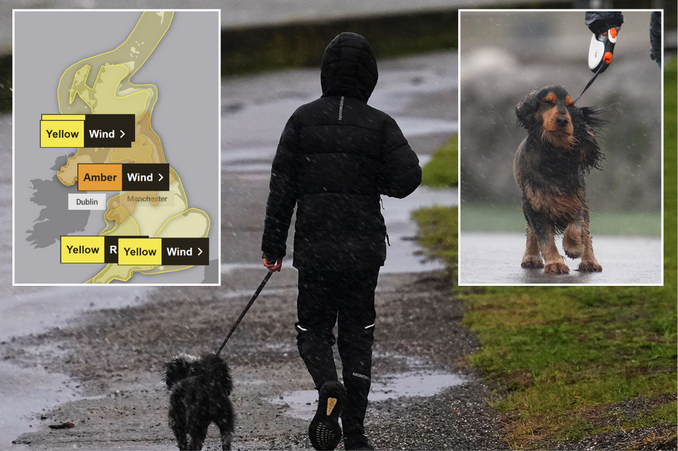
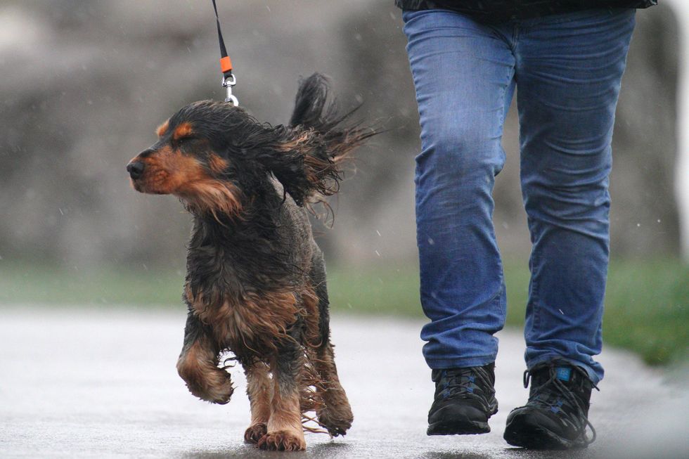
Britain is bracing for dangerous 90mph winds as Storm Eowyn approaches, with the Met Office urging dog owners to keep their pets on leads to prevent them being swept away by severe gusts.
The fifth named storm of 2025 is set to batter the country from Friday morning, bringing widespread disruption and a risk to life from flying debris.
Forecasters have warned of "severe, damaging and destructive gusts" that could pose particular dangers in coastal and exposed areas in the UK and Ireland.
The storm system will initially bring snow to parts of Northern Ireland, Scotland and northern England before quickly turning to rain as milder air moves in.
Storm Eowyn is set to hit the UK
PA
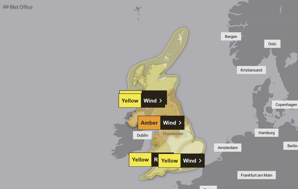
Weather warnings have been issued across the entire UK, with amber alerts in place for parts of northern England, North Wales, Northern Ireland and southern Scotland. The Met Office has issued an amber wind warning covering areas from Manchester to Glasgow, in effect from 6am until 9pm on Friday.
Inland areas could see gusts between 60-70mph, while exposed coastal regions may experience winds up to 90mph. The European Storm Forecast Experiment has also issued a level two tornado alert for parts of southern England, particularly between Bristol and London.
A separate yellow warning for wind covers the entire country on Friday, with additional alerts for rain across Wales and south-west England. Forecasters predict up to 60mm of rainfall over high ground, raising concerns about potential flooding.
The Met Office has advised homeowners to secure loose items outside their properties as flying debris could pose a danger to life.
LATEST DEVELOPMENTS
Dog walkers are being warned ahead of this weekend
PA
Mike Silverstone, Met Office Deputy Chief Meteorologist, said: "Storm Eowyn is expected to bring very strong winds and widespread disruption on Friday. There are currently a number of weather warnings in place, with all parts of the UK covered by one warning at some point on Friday."
"Storm Eowyn is expected to cross Northern Ireland early on Friday morning. It will then continue north-east across the northern half of Scotland during Friday afternoon and is expected to be centred near Shetland during Friday evening," he added.
The strongest wind gusts are likely to hit Northern Ireland, southern and central Scotland, northern England and northwest Wales.
Exposed sites in these regions could experience gusts exceeding 80mph, potentially reaching 90mph, which forecasters warn has significant potential for impact.
The full map of weather warnings in place
Met Office
National Highways has urged motorists in the North West, North East and Yorkshire to plan for disruption, warning of "a particularly high risk" to high-sided vehicles, caravans and motorbikes. AA roadside technician Chris Wood advised: "First and foremost drivers should consider if their journey is necessary or consider waiting until the storm has passed."
Rail passengers face significant disruption, with LNER warning of no trains running north of Newcastle from 11am Friday.
TransPennine Express is urging customers not to travel between Manchester/Liverpool and Glasgow/Edinburgh on Friday due to the dangerous conditions.

 By GB News (World News) | Created at 2025-01-23 09:34:39 | Updated at 2025-01-23 14:29:17
5 hours ago


