By The Rio Times | Created at 2026-10-08 00:47:00 | Updated at 2026-10-08 05:39:44
5 hours ago
By The Rio Times | Created at 2026-10-08 00:47:00 | Updated at 2026-10-08 05:39:44
5 hours ago
Weather: Mexico
Key Facts
—Who. Tropical Storm Simón, which formed on Wednesday 7 October 2026 from Tropical Depression Twenty-E off Mexico’s Pacific coast.
—What. Forecast to become a hurricane by Friday 9 October. The NHC forecast peaks at Category 3 on Saturday 10 October, while Mexican outlets differ between Category 2 and Category 3 for the weekend.
—Where. At 15.5°N, 101.6°W, about 285 km (177 miles) south-southeast of Lázaro Cárdenas, Michoacán, moving west-northwest at 13 km/h (8 mph).
—Wind now. Sustained winds of 65 km/h (40 mph).
—US link. Puerto Vallarta, in Jalisco state, is a popular destination for US travelers.
—Status. No evacuations or airport closures had been announced in the coverage we reviewed.
—As of. 8 October 2026, 00:05 GMT.
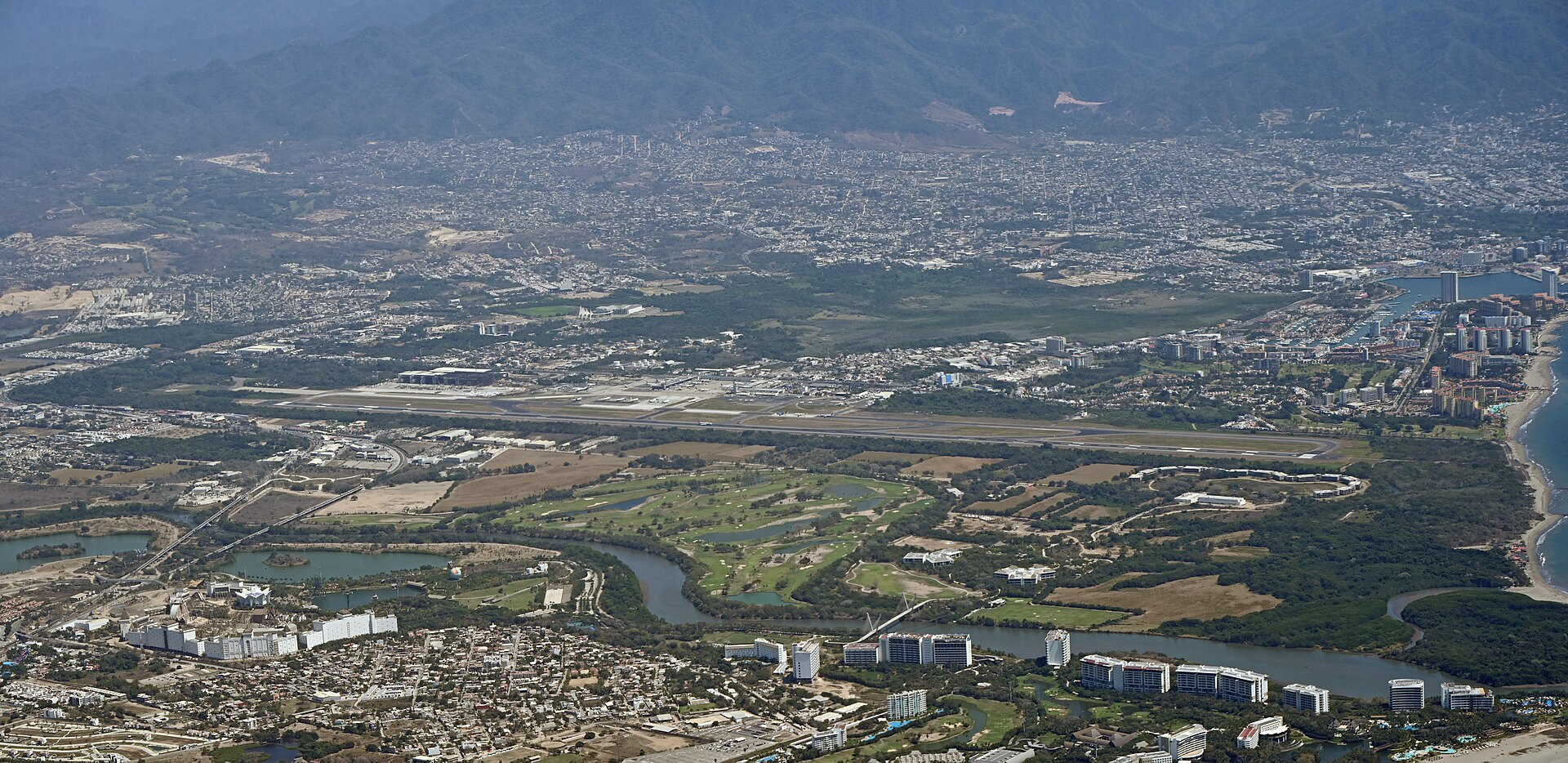
Tropical Storm Simón formed off Mexico’s Pacific coast on Wednesday 7 October 2026, and forecasters expect it to become a hurricane by Friday. The NHC forecast brings it close to the Jalisco coast, home to Puerto Vallarta, a popular destination for US travelers, over the weekend of 10 to 11 October.
What We Know
Tropical Depression Twenty-E became Tropical Storm Simón on the afternoon of Wednesday 7 October 2026. At 3 pm CST (2100 GMT) the NHC placed its centre at 15.5°N, 101.6°W, about 285 km (177 miles) south-southeast of Lázaro Cárdenas, Michoacán.
Sustained winds are 65 km/h (40 mph), and the storm is moving west-northwest at 13 km/h (8 mph). Fabián Vázquez Romaña of Mexico’s National Meteorological Service (SMN) said on social media that Simón is strengthening and will reach Jalisco’s coast as an intense Category 3 hurricane.
The NHC gives a central pressure of 1004 millibars and maximum winds of 35 knots (40 mph). Its forecast has Simón at hurricane strength by Friday 9 October.
The NHC forecast peaks at 100 knots (115 mph, 185 km/h), a Category 3 hurricane, on Saturday 10 October near 18.9°N, 105.3°W. By Sunday 11 October it has 80 knots (92 mph), a Category 1, at 21.2°N, 105.6°W, close to the Nayarit coast.
Follow this story
Get an email when there’s news on Puerto Vallarta (Mexico)
Free. One email a day at most, and only when there is news. This also signs you up to our weekday newsletter, The LatAm Brief. Nothing arrives until you click the confirmation link, and you can stop either with one click. Privacy policy.
Forecasts Differ on Strength
Mexican outlets give different strength forecasts for the weekend. Vázquez Romaña points to a Category 3 near Jalisco, while other reports cite Category 2.
Intensity forecasts several days out often change, and the track could still shift toward or away from the coast. All the forecasts we reviewed show a hurricane near the Jalisco and Nayarit coast over the weekend.
Rain and Seas
El Financiero reports that Guerrero and Oaxaca could get 75 to 150 mm (3 to 6 inches) of rain, and Michoacán 50 to 75 mm (2 to 3 inches). Waves of 2 to 3 metres (7 to 10 feet) are expected along the coast.
El Financiero names Guerrero, Oaxaca, Colima, Jalisco, Nayarit and Sinaloa as the states of main concern. Authorities are watching Jalisco, Nayarit and Sinaloa for possible changes in the track, according to Cadena Política.
Mexico’s Pacific side has already had a busy month. We covered Hurricane Rachel and its rain and what travelers needed to know about Rachel.
A Busy Pacific
Hurricane Rachel was still active on 6 October, about 700 miles (1,120 km) west-southwest of the southern tip of Baja California. Its winds were 80 mph (130 km/h), according to the NHC advisory of 8 pm PDT.
US weather media report that Rachel is forecast to turn back toward land, bringing dangerous surf to California. The two storms make this a busy week for the Pacific.
What Is Not Known
It is not yet clear whether Simón will make landfall or pass just offshore. The final strength, the exact timing and the states that take the strongest winds could all still change.
Evacuation plans, airport closures and cruise changes had not been announced in the sources we reviewed. The NHC issues updated advisories every six hours.
What It Means for Travelers and US Readers
Puerto Vallarta is popular with US visitors, so anyone booked for 9 to 12 October should watch airline and hotel notices. The NHC (nhc.noaa.gov) and the SMN (smn.conagua.gob.mx) publish the official forecasts.
Heavy rain in Guerrero and Oaxaca can disrupt road travel there in the coming days. The US State Department’s advisories for Mexico remain the official guidance for US citizens.
More: Mexico news in English, every day from The Rio Times.
Frequently Asked Questions
Where is Tropical Storm Simón now?
On 7 October 2026 it was about 285 km (177 miles) south-southeast of Lázaro Cárdenas, Michoacán. It was moving west-northwest at 13 km/h (8 mph) with sustained winds of 65 km/h (40 mph).
Will Simón hit Puerto Vallarta?
The NHC forecast track runs close to the coasts of Jalisco and Nayarit over the weekend of 10 to 11 October. Whether it makes landfall or passes offshore is not yet clear.
How strong will Simón get?
The NHC forecast peaks at 100 knots (115 mph), a Category 3 hurricane, on 10 October. Mexican outlets cite Category 2 or Category 3 for the weekend.
Where can travelers follow official updates?
The US National Hurricane Center (nhc.noaa.gov) and Mexico’s National Meteorological Service (smn.conagua.gob.mx) publish advisories. Airlines and hotels will post their own notices.