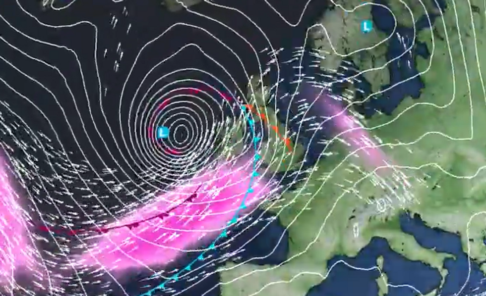
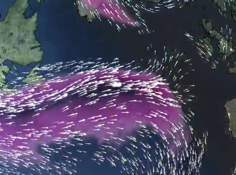
Britons should brace themselves for “disruptive weather”, with a Jet Stream forming above the North Atlantic bringing with it a possible new “named storm” to the UK.
The jet stream will bring with it “perhaps the strongest winds of the winter so far”, the Met Office has warned.
It added that the UK will see a return to wet and windy conditions as the low pressure system blows over from North America, which has seen a recent cold spell due to arctic air.
Winds of up to 250mph will strike the UK from Thursday onwards, with the low pressure “rapidly deepening” as the week presses on.
Winds of up to 250mph will strike the UK from Thursday onwards
Met Office
In its outlook for Wednesday to Friday, the Met Office said: “Rather cloudy with some rain and drizzle in places on Wednesday. Turning increasingly unsettled from Thursday onwards, with some wet and windy weather arriving on Friday.”
Looking ahead to the end of the month and into February, the Met Office said there will be a “continuation” of “wet and windy” periods followed by snowy spells.
In the weather agency’s long range forecast from January 24 to February 2, the Met Office said: “The change to much more unsettled conditions will begin on Friday as a deep area of low pressure, which is yet to develop, will be steered towards the UK on a powerful Jet Stream - fuelled by the recent cold spell over North America.
“A wet and windy few days are likely, with some snow in the north for a time, and then a continuation of these periods of rain followed by showers, often accompanied by strong winds, looks likely for the rest of the month and the start of February.
WEATHER LATEST:
The low pressure system will blow over from North America, which has seen a recent cold spell due to arctic air
Met Office
The Met Office added: “There is the potential for weather warnings or even a named storm at some point.
“Temperatures at least should recover in most places, ending up a little above average, though admittedly not feeling like it at times.”
As defined by the Met Office, a jet stream is a core of strong winds around 5 to 7 miles above the Earth’s surface, blowing from west to east.
It causes changes to the wind and pressure, and as it affects things nearer the surface, it helps “shape the weather we see”.
Large swathes of the country have been blanketed by snow in January
PA
BBC Weather's team said of the incoming low pressure system: “The Atlantic jet stream reaches extraordinary strength next week with 250mph winds. Some very quick flights travelling between the US and UK with these tailwinds. This powerful jet stream develops an intense low with gusts over 100mph over the sea to the west of the UK.”
Chris Fawkes, forecaster at the broadcaster, described the jet stream as "one of the strongest I have ever seen”.
“There will be 250mph winds in this beast and that is going to mean some very quick aeroplane journeys crossing the Atlantic,” he noted.

 By GB News (World News) | Created at 2025-01-20 17:01:04 | Updated at 2025-01-20 20:58:35
3 hours ago


