By The Rio Times | Created at 2026-09-12 17:21:31 | Updated at 2026-10-06 15:49:36
3 weeks ago
By The Rio Times | Created at 2026-09-12 17:21:31 | Updated at 2026-10-06 15:49:36
3 weeks ago
ARGENTINA · CLIMATE
Key Facts
- —The event The World Meteorological Organization describes an extremely strong El Niño peaking from late 2026 into February 2027.
- —The probability Argentina’s infrastructure ministry puts very strong conditions at 90 percent.
- —The regions Misiones and Corrientes carry above 55 percent probability of above-normal rainfall, with Formosa, Chaco, Santa Fe and the Paraná basin also flagged.
- —The port risk Swelling on the Paraná threatens access to the Buenos Aires port complex.
- —The harvest INTA warns the 2026-27 campaign will need revised management for heavy rain and high temperatures.
- —On the name Súper Niño is media shorthand. It is not a formal meteorological classification.
Argentina is being told to expect the strongest El Niño in decades over its next harvest, and the river that carries that harvest to market is the thing at risk.
One-stop reference
Company Intelligence
Every listed company in Latin America — financials, ownership and structure for 1,450+ companies across 26 exchanges, in one place.
Argentine agencies and the World Meteorological Organization are warning of an exceptionally strong El Niño peaking between late 2026 and February 2027, with the Paraná basin and the northeast carrying the highest flood risk.
What Is Forecast
The World Meteorological Organization describes the event as extremely strong, peaking from late 2026 through February 2027. Argentina’s infrastructure ministry puts the probability of very strong conditions at 90 percent.
Misiones and Corrientes carry probabilities above 55 percent of above-normal rainfall. Formosa, Chaco, Santa Fe and the wider Paraná basin and delta are also flagged.
The national agricultural technology institute, INTA, warns that elevated rainfall combined with high temperatures will require revised management for the 2026 and 2027 campaign.
Súper Niño, the term circulating in Argentine media, is not a formal classification. The technical description remains an intense or strong El Niño episode, and the shorthand should be read as journalism rather than meteorology.

Why the River Is the Problem
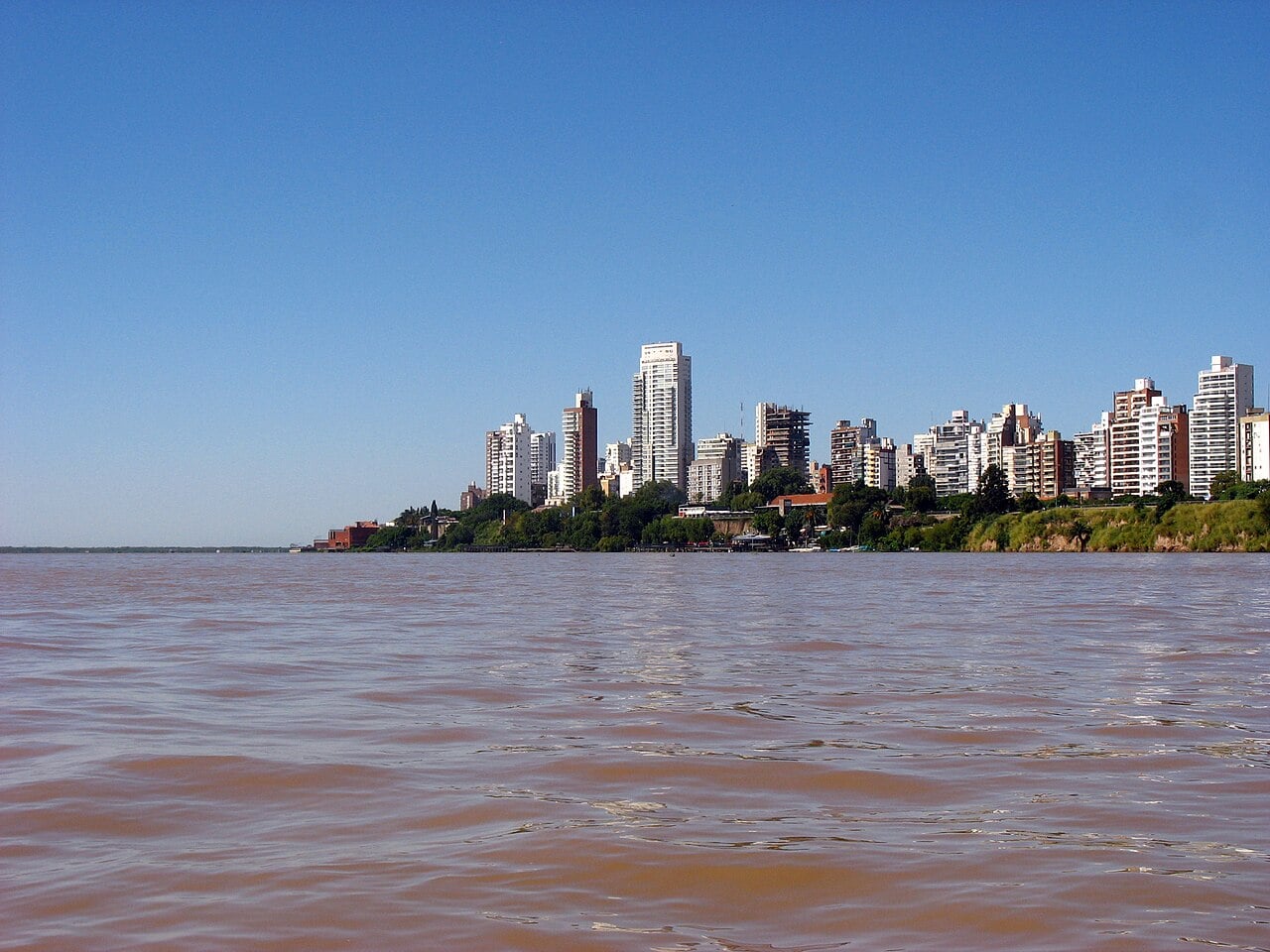
The Paraná carries the great majority of Argentine grain exports to the Atlantic through the Rosario port cluster and onward to the estuary.
Both extremes hurt it. The low-water event of 2021 forced vessels to load below capacity and cost the sector hundreds of millions of dollars. Swelling brings the opposite problem, with flooding on the delta, disrupted access to terminals and damage to the low-lying infrastructure along the route.
Reporting flags risk to access to the Buenos Aires port complex specifically, which is the alternative route when Rosario is constrained.

The Regional Picture
This is the same underlying Pacific event that Peru is tracking, and the two countries are watching different manifestations of it.
Peru’s multi-agency ENFEN committee monitors the coastal Niño, a regional ocean-warming pattern off the Peruvian coast, and has put the probability of an extraordinary event at 62 percent. Peru has declared a state of emergency across 893 districts in more than 20 regions.
Argentina is exposed through rainfall and river levels rather than through coastal ocean temperature. Colombia, at the other end, generally gets drought in an El Niño year rather than flood.
One event, three different problems, and no single regional response to any of them.
What Happened Last Time
Argentina has run this cycle in both directions within five years. The 2020 to 2021 La Niña drought produced the lowest Paraná levels in more than seventy years, forcing grain vessels at Rosario to load below capacity and imposing costs measured in hundreds of millions of dollars on the export chain.
The 2022 and 2023 drought then cut the soy and maize harvests severely enough to remove several percentage points from Argentine GDP and to gut the central bank’s dollar earnings.
An intense El Niño is the opposite phase and generally the more favourable one for Argentine yields, because it brings rain to the Pampas during the growing season.
The risk is not drought this time. It is too much water at the wrong moment, in the wrong places, on a river that has to carry the result to a ship.
More: Argentina news in English, every day from The Rio Times.
Frequently Asked Questions
How strong is the forecast event?
The World Meteorological Organization describes it as extremely strong, peaking from late 2026 into February 2027. Argentina’s infrastructure ministry puts very strong conditions at 90 percent probability.
Which regions are at risk?
Misiones and Corrientes above 55 percent probability of above-normal rainfall, with Formosa, Chaco, Santa Fe and the Paraná basin also flagged.
What is the economic risk?
Flooding on the Paraná and delta, disrupted port access including to the Buenos Aires complex, and a 2026-27 harvest requiring revised management.
Is Súper Niño an official term?
No. It is media shorthand. The technical description is an intense or strong El Niño episode.
Is this the same event as Peru’s?
It stems from the same Pacific pattern, but Peru tracks a coastal Niño through its ENFEN committee, which has put an extraordinary event at 62 percent probability.
Sources: World Meteorological Organization, INTA, La Nacion, Infobae.