By The Rio Times | Created at 2026-09-10 11:06:37 | Updated at 2026-10-04 11:54:28
3 weeks ago
By The Rio Times | Created at 2026-09-10 11:06:37 | Updated at 2026-10-04 11:54:28
3 weeks ago
BRAZIL · WEATHER
Key Facts
- —The alert Climatempo has warned of supercell storms with tornado potential on 10 and 11 September.
- —The peak Greatest risk on Friday 11 September.
- —Where Southern and western Paraná, the extreme south of Mato Grosso do Sul, and southwestern and southern São Paulo state.
- —The hazards Tornadoes, hail and winds above 90 kilometres per hour.
- —The cause A cold front interacting with an intensifying extratropical cyclone.
- —Precedent Southern Brazil records tornadoes most years. They are not rare in this corridor.
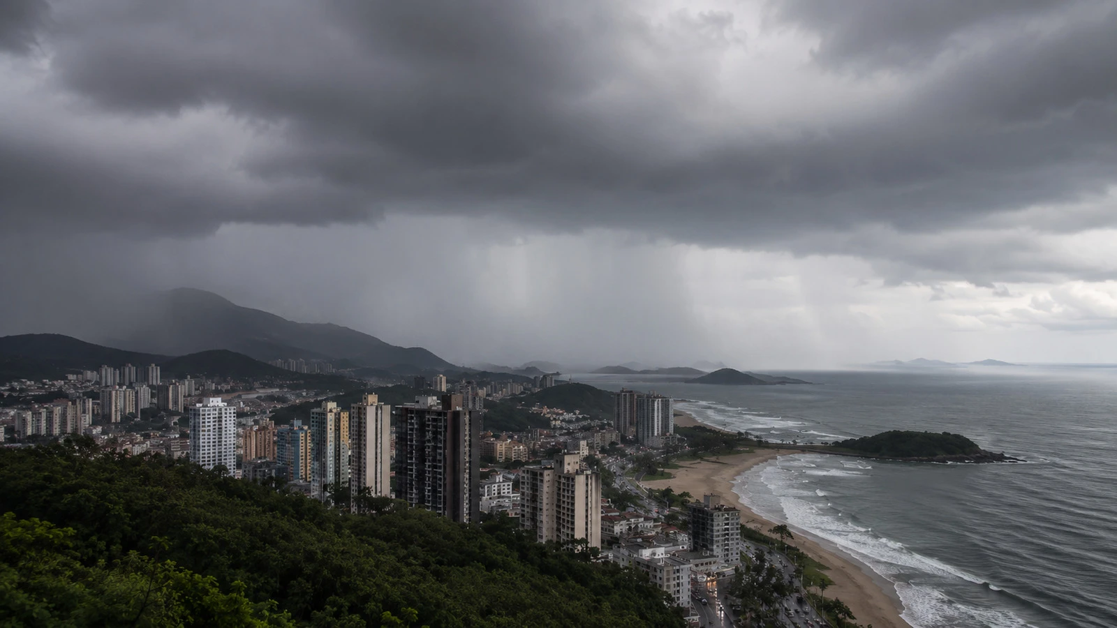
A cold front is meeting an intensifying cyclone over southern Brazil this week, and the forecast includes the word supercell.
One-stop reference
Company Intelligence
Every listed company in Latin America — financials, ownership and structure for 1,450+ companies across 26 exchanges, in one place.
The forecaster Climatempo has issued a severe weather alert for parts of Paraná, São Paulo and Mato Grosso do Sul on Thursday and Friday, with the greatest risk on 11 September.
The Area at Risk
The alert covers southern and western Paraná, the extreme south of Mato Grosso do Sul, and southwestern and southern São Paulo state.
The hazards listed are tornadoes, hail and wind gusts above 90 kilometres per hour, produced by supercell thunderstorms.
The mechanism is a cold front interacting with an intensifying extratropical cyclone, the standard configuration for severe convective weather in this part of Brazil during the spring transition.

Why This Corridor
Southern Brazil, northern Argentina, Uruguay and Paraguay together form one of the world’s most active severe-storm regions, comparable in convective energy to the central United States.
Warm, humid air from the Amazon basin meets cold air from the south over flat terrain, which is the recipe for the rotating updrafts that produce tornadoes.
Brazil records tornadoes most years, principally in Paraná, Santa Catarina, Rio Grande do Sul and interior São Paulo. They are less publicised than their North American equivalents and no less real.
What to Do With the Warning
Severe convective forecasts are probabilistic. A supercell risk means conditions favour rotating storms across an area, not that a tornado will strike a given town.
The practical hazards for most people in the alert zone are wind and hail rather than a tornado: power lines, roofs, vehicles and trees. Agricultural losses from hail in a spring week are the more likely economic consequence.
The alert runs through Friday. Conditions should ease as the front clears to the east.
How a Supercell Forms
An ordinary thunderstorm rises, rains and collapses within an hour. A supercell is different because its updraft rotates, and the rotation lets it sustain itself for hours while continuing to draw in warm, moist air.
The rotation comes from wind shear: wind that changes speed and direction with height. The rising air picks up that horizontal spin and tilts it into a vertical column, called a mesocyclone.
Tornadoes form inside that column, and only a minority of supercells produce them. This is why forecasters describe a tornado risk rather than a tornado forecast.
The same structure produces the other hazards. A rotating updraft holds hailstones aloft long enough to grow, and the collapsing downdraft produces the straight-line winds that do most of the damage.
The Setup This Week
The mechanism named in the forecast is a cold front interacting with an intensifying extratropical cyclone. That combination produces both of the necessary ingredients at once.
The cyclone deepens the pressure gradient, which increases wind shear. The front provides the lifting mechanism that gets the warm surface air rising in the first place.
Spring is when this is most likely in southern Brazil, because the surface has warmed enough to provide instability while the upper atmosphere still carries winter’s temperature contrasts and wind speeds.
September and October are historically the peak months for Brazilian tornado reports.
What Is Usually Damaged
Agriculture takes the largest measurable loss. Hail in September falls on wheat approaching harvest in Paraná and on early-planted soy, and a single storm cell can destroy a field.
Distribution networks are the second. Southern Brazilian storms routinely take down power lines across large areas, and restoration in rural municipalities can take days.
For households, the guidance in a supercell warning is the same everywhere: get to an interior room on the lowest floor, away from windows, and stay off the roads while the cell passes. Vehicles are the most dangerous place to be in high winds and large hail.
The alert period runs through Friday, after which the front should clear eastward and conditions ease.
More: Brazil news in English, every day from The Rio Times.
Frequently Asked Questions
Where is the alert?
Southern and western Paraná, the extreme south of Mato Grosso do Sul, and southwestern and southern São Paulo state.
When is the risk greatest?
Friday 11 September 2026.
What is forecast?
Supercell thunderstorms with potential for tornadoes, hail and winds above 90 kilometres per hour.
What is causing it?
A cold front interacting with an intensifying extratropical cyclone.
Do tornadoes happen in Brazil?
Yes. Southern Brazil records them most years, chiefly in Paraná, Santa Catarina, Rio Grande do Sul and interior São Paulo.
Sources: Climatempo, Metrópoles.
This article was drafted with automated assistance and reviewed before publication. How we use AI · Report an error